August 30, 2023
Six important benefits of implementing BIM for the design, construction and operation of dams
Dams are valuable infrastructure assets with numerous benefits including providing water supply, helping to generate electrical energy, aiding flood control, serving as tourist destinations, and conserving habitats. Their development process is complex including planning/design, construction, and operation and maintenance. Given the complexities, there’s a vital need for precision, effective coordination, and seamless integration across architectural, engineering, and construction (AEC) disciplines at every stage. Ensuring a smooth construction process is a significant challenge for owners or governments, designers, consultants, and contractors. This challenge is now being addressed with the technological advancement of Building Information Modeling (BIM).
BIM, which stands for “Building Information Modeling,” is a digital representation of the physical and functional characteristics of a facility. At its core, a 3D model in BIM stores an extensive database of attributes for each element of the built asset. This model serves as a shared knowledge base, providing a reliable foundation for decisions throughout the asset’s entire lifecycle.
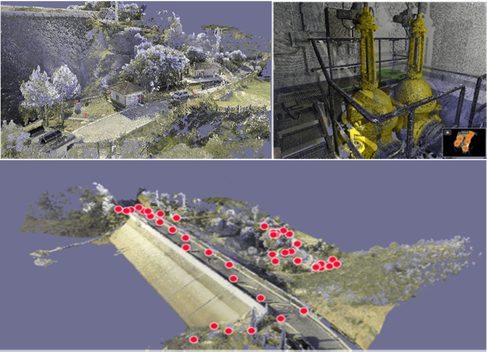
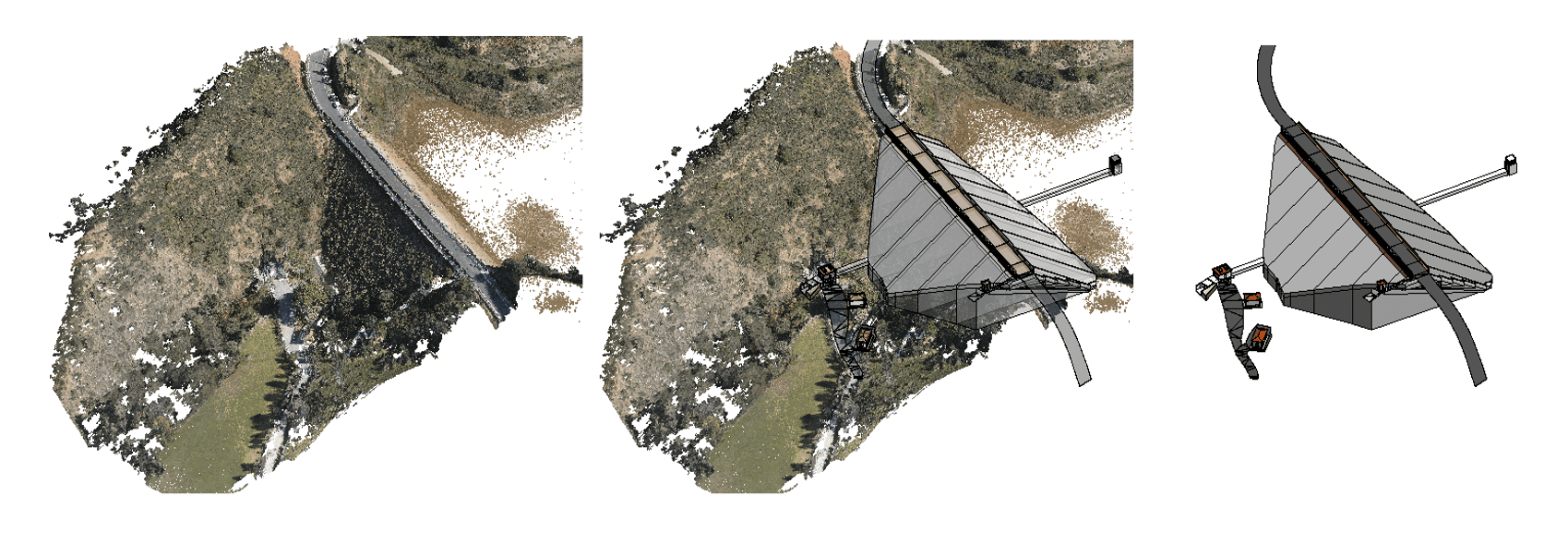
One of BIM’s standout features is its ability to integrate information from diverse sources like aerial photography, digital terrain models, drones, lidar, and laser scanning. This integrated data offers a comprehensive view of designs, facilitating improved decision-making and consultation. Furthermore, BIM models are often stored in the cloud, ensuring easy access for all stakeholders.

Let’s delve into how BIM can be applied to manage dams throughout their lifecycle:
- Preliminary Studies: BIM offers clear visualizations, allowing users to discern potential dam types, sizes, and heights. It aids in estimating the earth movements or the amount of concrete needed for construction, calculating reservoir volumes and areas, and creating realistic concept designs. This ensures seamless integration of the scheme with the surrounding environment.
- Design: Serving as the central design tool, the BIM model fosters collaboration across all disciplines, from geospatial to mechanical. It facilitates value engineering by allowing various engineering specialties to probe and analyze the model.
- Construction: Employing BIM ensures enhanced project control for the contractor and all involved parties, minimizing associated risks. It optimizes scheduling, planning, and tracking of execution timelines.
- Operation: BIM centralizes all operational data related to the dam, encompassing valve actions, spillway flows, operational rules, emergency action plans, and more.
- Monitoring and Surveillance: The BIM model seamlessly integrates instrumentation measurements, presenting both current and historical data graphically. It acts as a tool for alert analysis when thresholds are exceeded and combines surveyed data, tracking anomalies, and visually documenting inspection results.
- Maintenance: BIM streamlines scheduling, aiding dam managers in resource allocation for essential O & M tasks. It also ensures that associated procedures and operational guidelines are timely and current.

BIM consolidates all dam safety-related data — from geological and hydrological surveys to safety plans and operating rules — within a singular model. This centralized methodology significantly improves our capacity to manage interconnected elements on a unified platform. For optimal utility, it’s recommended to pair these functionalities with mobile devices, such as tablets or smartphones, for personnel responsible for operations and maintenance.
We support your projects
We are here for you, to advise you personally and offer you the product you need.