October 8, 2024
Ayesa will digitalise 15 dams operated by the Duero River Basin Authority
The company uses BIM to modernise and optimise the maintenance, operations and safety of these essential assets
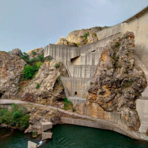
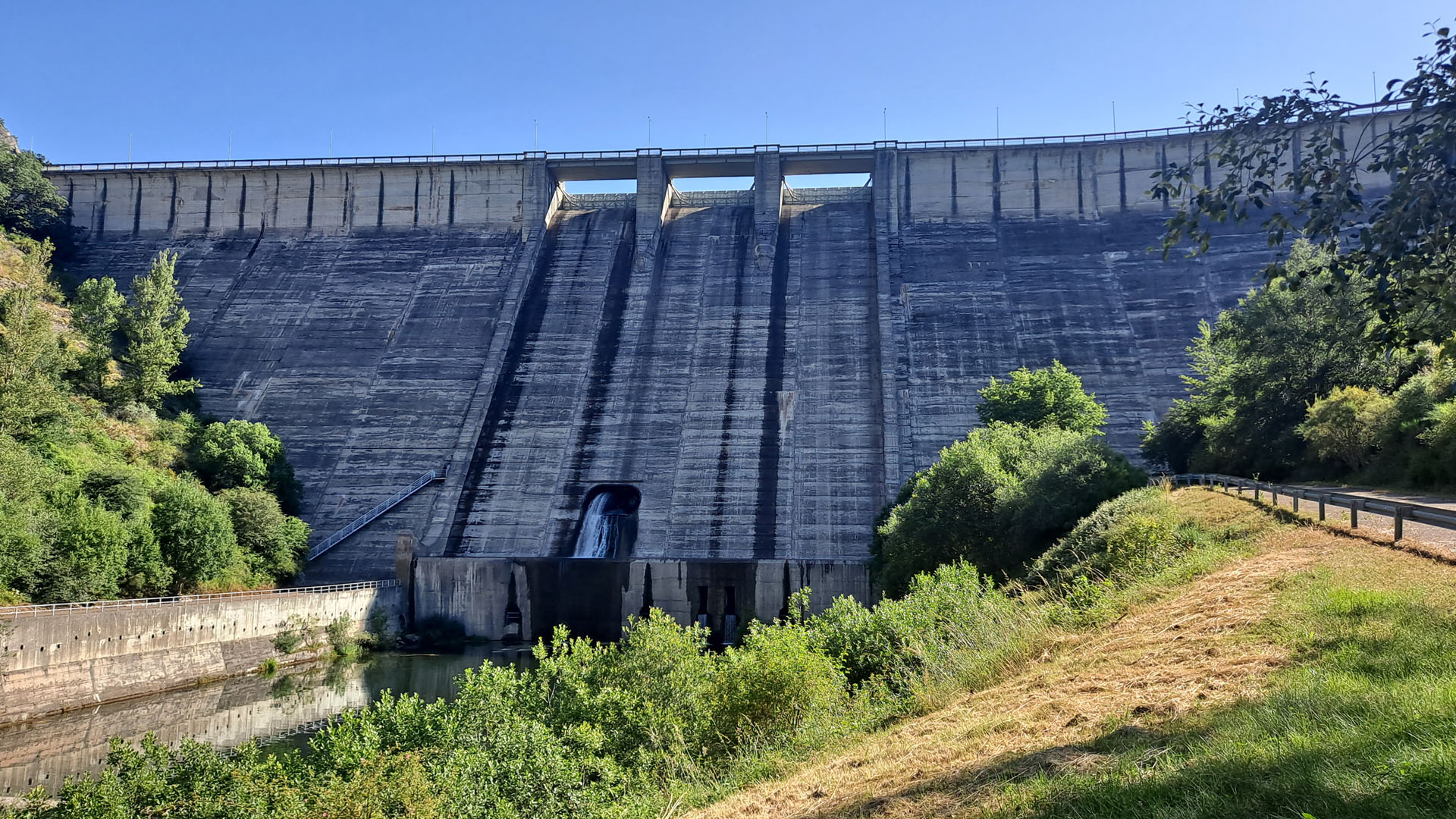
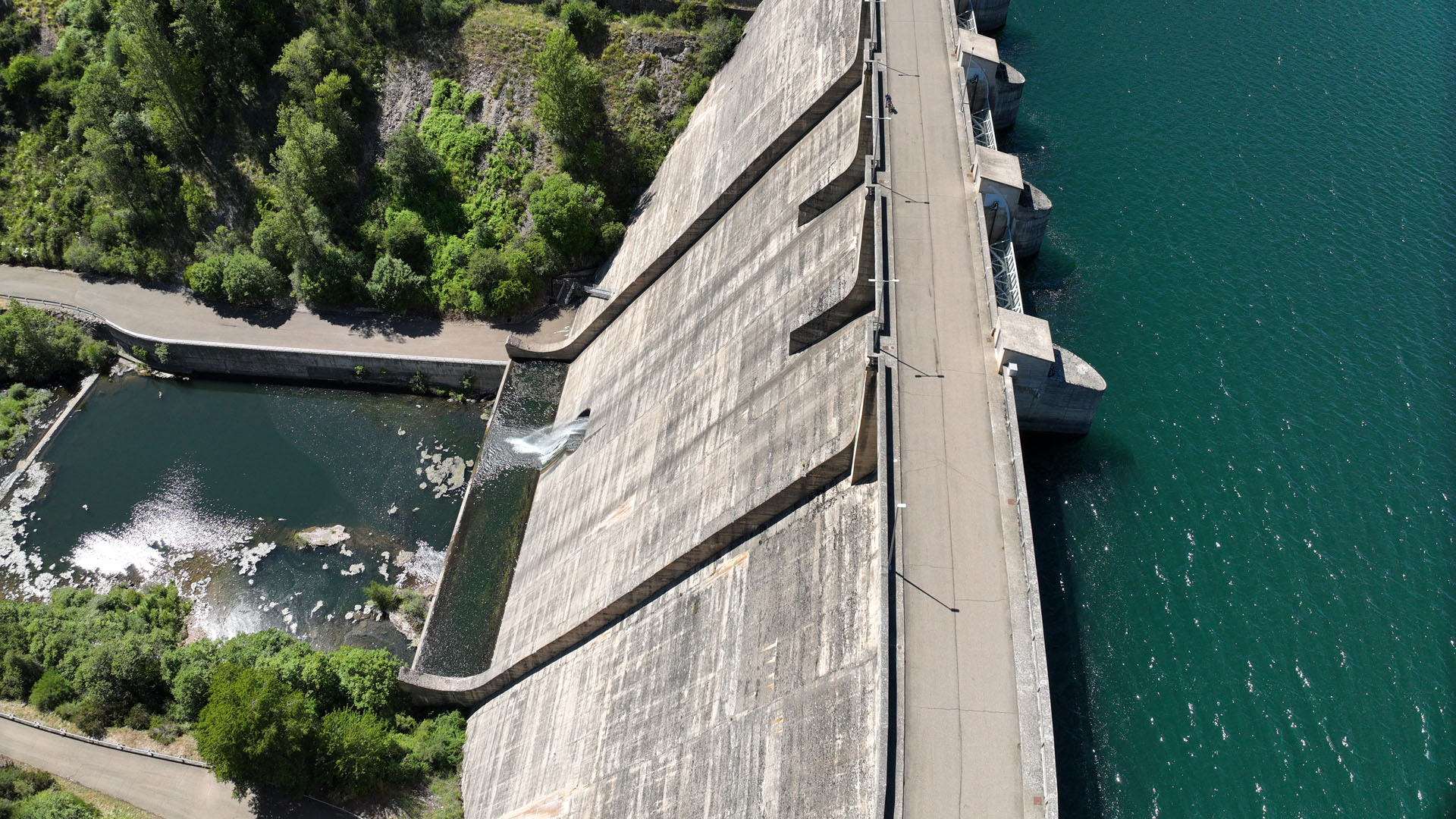
Ayesa has recently been awarded a contract to digitalize 15 dams operated by the Duero River Basin Authority. This project is managed by the Directorate General for Water under the Ministry for the Environment, and financed by the EU Next Generation funds. As part of the project, Ayesa will develop a Building Information Modeling (BIM) model of the existing dam infrastructures. The project includes some of the region’s most vital dams, such as Barrios de Luna, Riaño, Juan Benet, and La Cuerda del Pozo.
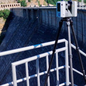
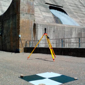
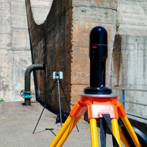
Building Information Modeling (BIM) is an advanced methodology that uses 3D digital models to provide comprehensive information about every component of a structure. Beyond visualizing physical elements, BIM incorporates essential data such as materials, dimensions, systems, and performance metrics. This integrated approach enhances planning, coordination, and decision-making throughout all project phases, from design and construction to long-term operation and maintenance. By leveraging data from various sources—such as aerial imagery, photography, drones, LiDAR, and laser scanning—BIM allows for highly accurate models stored in the cloud, making it easier for users to visualize designs and make more informed, efficient decisions.
In addition to enhancing design and adaptation processes, BIM significantly optimizes maintenance, operations, and safety, providing a holistic way to manage infrastructure projects.
Designing New Dams and Enhancing Existing Infrastructure
BIM facilitates effective coordination across various disciplines by allowing models to be shared, which helps project teams identify errors and conflicts early on. The models are automatically updated to reflect changes, ensuring full traceability and allowing users to access all previous versions. Furthermore, views and drawings are refreshed automatically, which saves valuable time.
Additionally, BIM enhances the planning of all construction phases, significantly reducing the likelihood of conflicts. The model allows for advanced simulations and calculations for installations and structures, providing valuable insights that improve decision-making and streamline the construction process. In conclusion, BIM equips designers with comprehensive control over the construction process, while simultaneously enabling project owners and public entities to effectively monitor progress and uphold project integrity. This dual capability fosters enhanced collaboration, efficiency, and accountability throughout the project lifecycle.
Maintenance and operations
During the initial operations phase, BIM models can integrate filling or loading plans, significantly improving process efficiency. In addition to facilitating process planning and control, BIM monitors the variables identified through auscultation during filling and incorporates these findings into the calculation models necessary for the design phase.
BIM also consolidates information related to all necessary activities into one platform. This includes operations, auscultation, inspections, maintenance, inventory management, emergency planning, and the management of documents and technical files. All this information is linked to different components of the dam, which are represented in 3D and georeferenced for easy access.
Furthermore, results from daily and weekly inspections are linked to these 3D elements, including details such as required staff and materials, photographs from previous inspections, incident records, and specifications, and others.
Safety
Accessing all dam-related documents through a georeferenced BIM model makes the management of safety documentation much more effective. The model can automatically generate reports on dam operations, enabling teams to interpret and analyze results with greater accuracy while producing comprehensive safety assessments. Users can quickly retrieve data on past incidents, evaluate them, and correlate findings with relevant variables. In situations requiring stability calculations, historical data can be accessed and analyzed swiftly, ensuring more informed decision-making and proactive management.
We support your projects
We are here for you, to advise you personally and offer you the product you need.
