Challenge
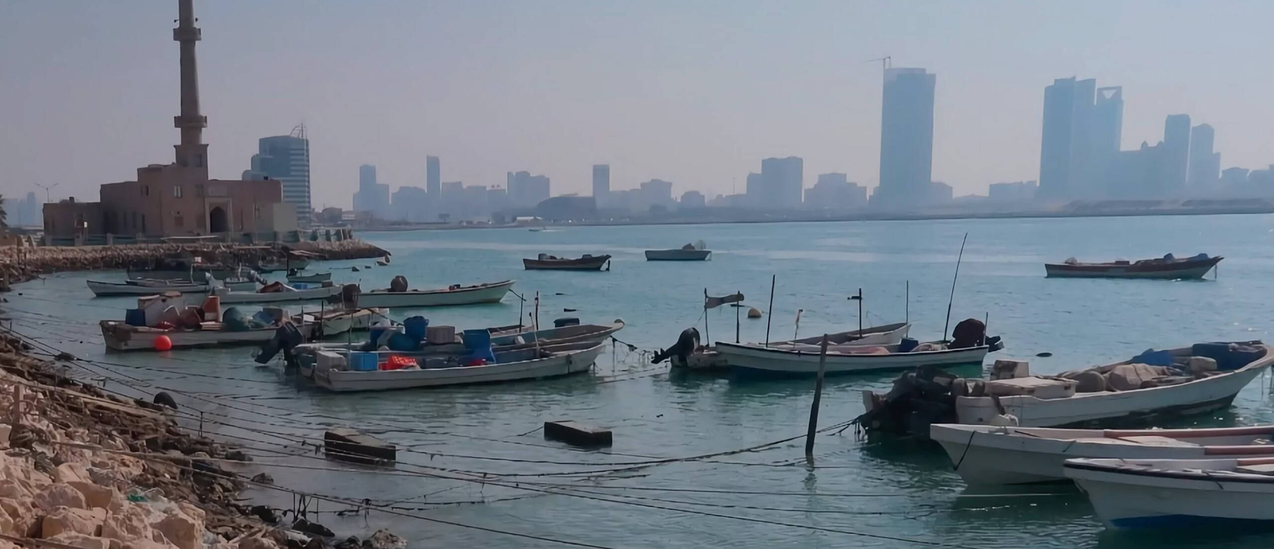
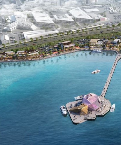
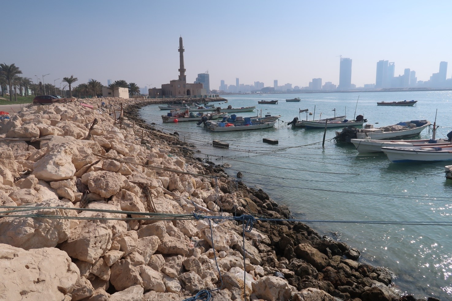
The vision for the Al Ghous Waterfront is to create a unique waterfront dining, entertainment, and shopping experience for families, bringing communities closer to the marine environment while celebrating Bahrain’s unique heritage and relationship with the sea. Situated on Bahrain’s Muharraq Island, the development is ideally framed between two major highways, with proximity to surrounding commercial developments and Bahrain International Airport (BIA). The project aims to create a connected venue for social, cultural, and recreational events for both residents and global visitors.
Our work
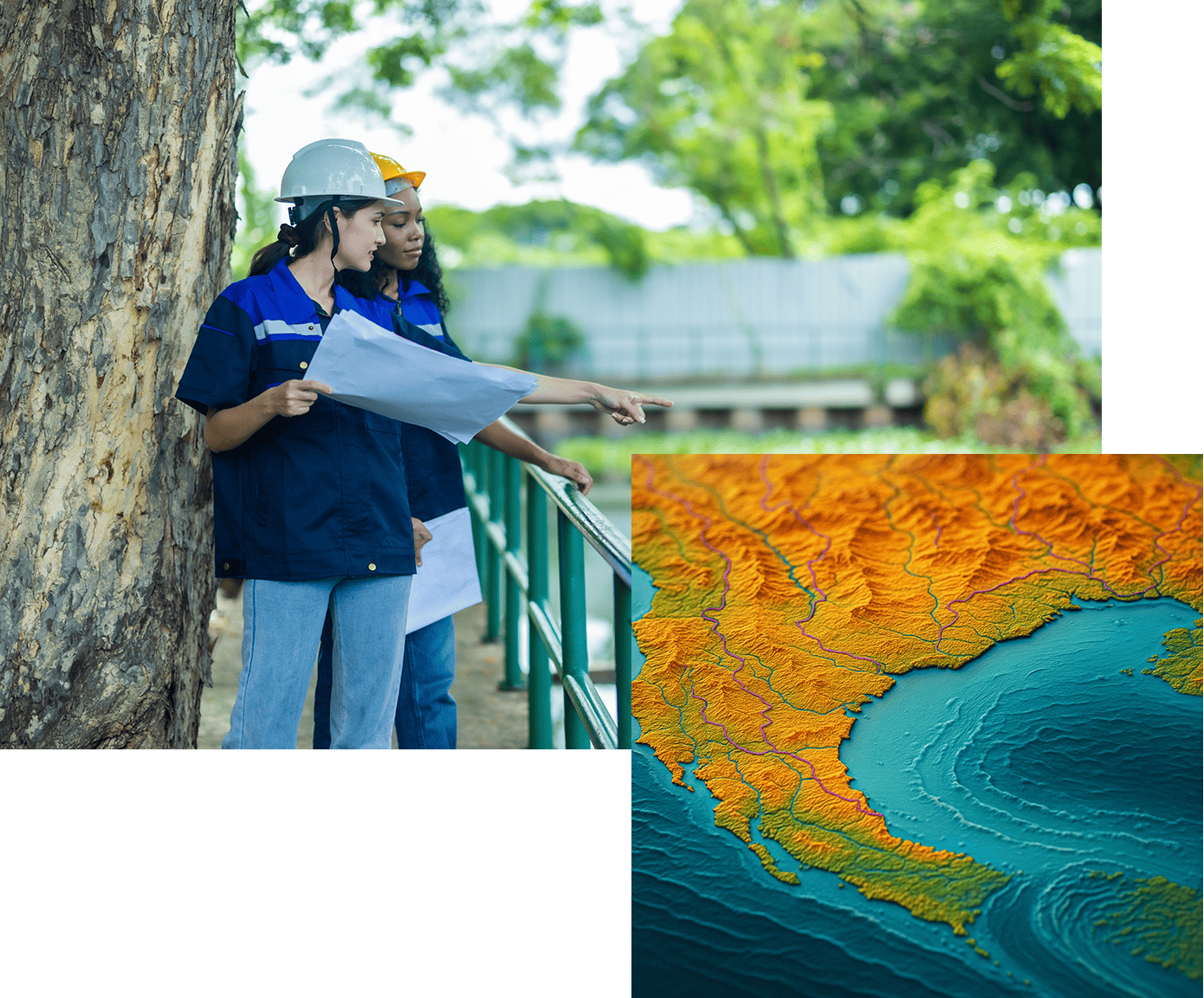
Ayesa was appointed by CLE Millet to provide an Environmental Impact Assessment (EIA) for the Al Ghous Waterfront Project on behalf of the Bahrain Tourism & Exhibition Authority. We conducted a comprehensive EIA that assessed the impacts of the proposed development on various environmental factors, including air quality, noise, marine ecology, water and sediment quality, waste management, soils and groundwater, traffic and access, socio-economics, and landscape and visual amenity. We also examined the cumulative impacts and provided appropriate mitigation measures to minimise potential impacts during both construction and operation.
Additionally, Ayesa undertook a 2D hydrodynamic and flushing modelling study for the proposed reclamation at Al Ghous Waterfront. This study simulated different scenarios (baseline, proposed development, and future conditions) and demonstrated that the proposed reclamation would enable consistent water exchange, maintaining effective bay flushing within PIANC guidelines.
Added value
Ayesa developed in-house algorithms used alongside professional judgment to provide a unique yet reliable method of assessing environmental effects across a multi-variate data set. These algorithms are based on IFC standards and internationally recognised environmental risk assessment formulas. Furthermore, our detailed baseline surveys, including marine ecology studies and water and sediment quality analysis, along with advanced GIS mapping, contributed significantly to the thoroughness and reliability of the EIA.
